
Survey & Mapping
Create high-precision maps and 3D models for land surveying, construction, and environmental monitoring using advanced drone and GPS technology.
Industry Overview
Professional tracking and management solutions tailored for survey & mapping sector.
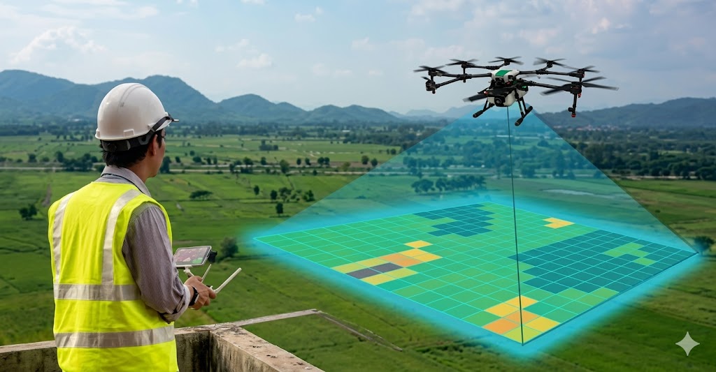
Leverage our advanced survey and mapping services to create highly accurate digital twins of your project sites. Our drone-based LiDAR and photogrammetry solutions capture detailed topographic data, enabling precise measurements and 3D model generation. This technology is ideal for land surveying, construction progress monitoring, and environmental assessments. Ensure your projects are built on a foundation of accurate data with our comprehensive survey and mapping capabilities.
Key Solutions
Core Features
- High-precision mapping
- 3D model generation
- Drone survey technology
- Environmental monitoring
Key Benefits
- Achieve centimeter-level accuracy
- Reduce survey time by up to 80%
- Improve project planning with 3D models
- Monitor environmental impact with precision
Ready to optimize your survey & mapping operations?
Contact our experts today for a tailored demonstration of our GPS tracking and management platform.